Water Resources Information

Welcome to Missouri Water Center!

Missouri is blessed with tremendous and diverse water resources.

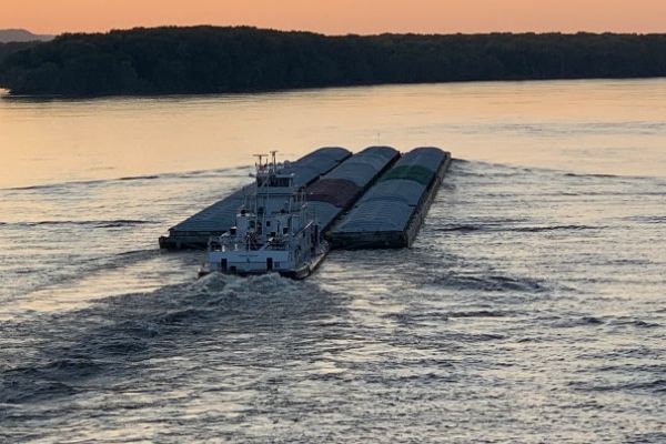
To support a growing human population and protect ecosystems, water quality must be maintained at a level that meets shared uses. The Missouri and Mississippi Rivers flow more than 1,000 miles through the Show-Me State, providing unique and diverse benefits from drinking water and commercial navigation to wildlife habitat and power generation.

The state’s lakes and streams are popular destinations drawing millions to the outdoors. Missouri citizens continue to support measures aimed at protecting natural resources, including a state sales tax to fund soil and water conservation and state parks.

Barge on river.

Water volatility affects Missouri’s economy.

With much of the state’s economy tied to its natural resources, we often suffer the consequences resulting from too much or not enough water. For example, the Lower Missouri River has experienced three 500-year floods within the last 30 years.

Aside from the toll on people, flooding and drought result in significant economic and physical losses. This includes lost income, repair costs, and damage to levees, crops, homes, businesses, roads, schools, and railroads. MWC research is intended to provide the state with tools that can help manage the effects of water volatility.

Resiliency through research.

Resiliency, the ability to withstand adversity and bounce back from difficult events, has become a goal for managing the state’s largest waterways. While large studies are being planned to determine ways to enhance flood control and flood-risk reduction, technological advances are creating new ways to predict the severity of flooding and drought in Missouri.

Enhancing statewide monitoring networks.

Working with the private sector, state and federal agencies, and other colleges and universities, the Missouri Water Center plans to use new technologies to help develop a statewide network capable of continuously monitoring river, lake, and soil moisture levels. 

Data lead to better predictions.

This data, coupled with weather forecasting information, can be analyzed to estimate both the potential for flooding and the size of the area being threatened. Likewise, data collected from a statewide soil moisture network can be analyzed to determine the timing and extent of drought conditions.


Featured Projects

2022 National lakes Assessment (NLA3) Survey

Missouri Department of Natural Resources, Environmental Protection Agency, PI- Alba Argerich

The Heartland Disaster Education Network – Building resiliency in the heartland, multi-state project

United States Department of Agriculture, National Institute of Food and Agriculture Special Needs Program, PI- Dan Downing

Exploring coupled physical, biological and chemical processes that control Lead fate and transport through plastic plumbing materials

National Science Foundation, Environmental Engineering Program, PI- Maryam Salehi

Development of a Novel Nanofibrous media to remove the microplastics from water

Brown and Cadwell, PI- Maryam Salehi

Bizarro cyanotoxins: when do green reservoirs become toxic?

Missouri Water Resources Research Center, PI- Rebecca North

Flooding impact on cyanobacteria blooms

Missouri Department of Health and Senior Services, PI- Rebecca North

Stay In Touch

Add yourself to our email list to receive updates regarding the Missouri Water Center.

Stay in Touch